By-Line: Shannon Martin, Communications and Marketing, Palm Coast Government
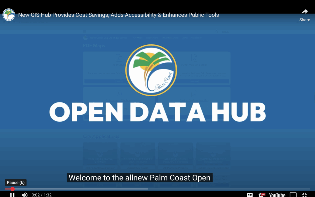
The City of Palm Coast is proud to announce the launch of its updated GIS Open Data Hub, officially going live on May 9, 2025. Built entirely in-house by the City’s GIS Division, the new platform replaces the legacy site and delivers a modern, user-friendly experience while saving taxpayers the cost of outsourcing project development.
“The mission of the City of Palm Coast Geographic Information Systems is to efficiently and effectively provide mapping, geographic analysis, and technical support to the City Council, city departments, and our residents,” said Doug Akins, Director of Information Technology for the City of Palm Coast. “This new platform enhances that mission with a more intuitive, accessible design while preserving all the powerful tools users depend on.”
Key features of the new GIS Open Data Hub include:
- Easy access to downloadable PDF maps, including the City Street Map, Zoning Designation Map, and Future Land Use Map.
- Organized and searchable GIS datasets such as City Limits, Voting Districts, and Zoning Districts.
- Interactive web applications for planning projects, capital projects, adaptable assets, voting districts, and more.
Residents are encouraged to visit the new hub at opendata.palmcoast.gov and explore the tools available. Feedback is actively being solicited through a short survey available at the bottom of the landing page.
For questions, feedback, or technical support, please contact the GIS Division at gis@palmcoastgov.com
View the tutorial here: https://youtu.be/vTYhaEjjkms